On Wednesday of last week, a full week ago, the geohashing algorithm xkcd comic was posted. It purposes an algorithm for randomly determining latitude and longitude coordinates scattered evenly throughout the world. There is a random location within roughly 85 miles of your present location generated every day. The algorithm works like this:

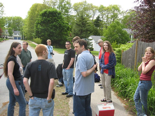
Meetups are held Saturdays at 4pm, and since the comic was posted last week, this Saturday was the first meetup, so I skipped the zombie walk, earth fest, and Zuneral to attend. The location was in the front yard of suburban house in Hopedale, MA.

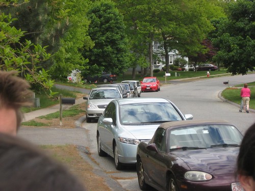
Everyone was very good about not disturbing the house or entering the yard. We even actually met up around the corner from the location at first so as to minimize the hubbub directly in front of the house. Someone did actually bring some beer which had be promptly re-hidden in his backpack. There were about 40 people there in total, which Randall thinks is a “triumph.”
I brought the following supplies:
- Cooler with Coke, Sunkist, and Strawberries
- Puerto Rico
- Go
- Kite
- Laptop with GPS
- Water Gun
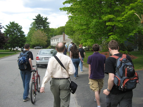
I didn’t make use of most of that. What I did do was throw around the frisbee, chat and take lots of pictures. Here are some of the pictures that come with back story.
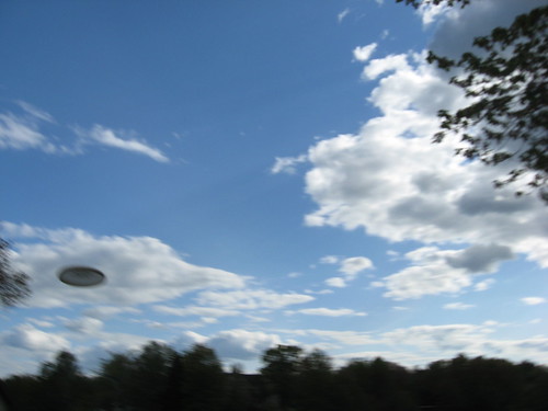
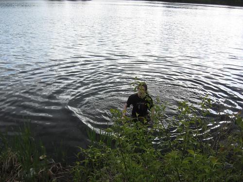
I managed to both take that picture and catch that frisbee on the left side. I’m proud not, but I did manage to sail one shot directly over this guy’s head and into the lake, but he was good sport and went to get it anyways.
i like your skyline pic :) it looks professional. i figured there was a secret message in that comic…i also figured you would a. understand it, b. explain it. i was correct both times!